
Harad topographic map
Interactive map
Click on the map to display elevation.
About this map
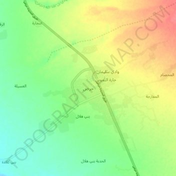
Name: Harad topographic map, elevation, terrain.
Location: Harad, Harad District, Hajjah Governorate, Yemen (16.36610 43.01605 16.44610 43.09605)
Average elevation: 101 m
Minimum elevation: 74 m
Maximum elevation: 135 m