
Thank you for supporting this site ❤️
Make a donation
Make a donation
Ban Pa San topographic map
Click on the map to display elevation.
Thank you for supporting this site ❤️
Make a donation
Make a donation
About this map
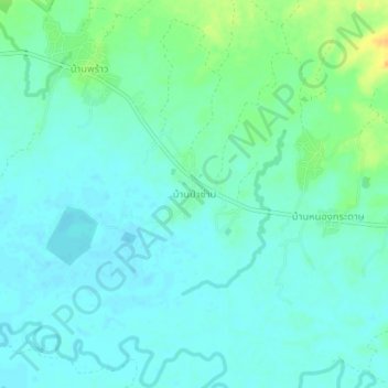
Name: Ban Pa San topographic map, elevation, terrain.
Location: Ban Pa San, Phitsanulok Province, 65120, Thailand (17.09283 100.76768 17.13283 100.80768)
Average elevation: 202 m
Minimum elevation: 194 m
Maximum elevation: 226 m
Thank you for supporting this site ❤️
Make a donation
Make a donation