
La Parra topographic map
Interactive map
Click on the map to display elevation.
About this map
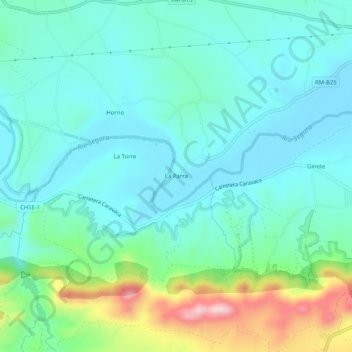
Name: La Parra topographic map, elevation, terrain.
Location: La Parra, Vega Alta del Segura, Murcia, España (38.21280 -1.52414 38.25280 -1.48414)
Average elevation: 239 m
Minimum elevation: 173 m
Maximum elevation: 466 m