
Thank you for supporting this site ❤️
Make a donation
Make a donation
Borgin topographic map
Click on the map to display elevation.
Thank you for supporting this site ❤️
Make a donation
Make a donation
About this map
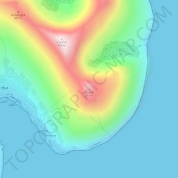
Name: Borgin topographic map, elevation, terrain.
Location: Borgin, Fuglafjørður, Eysturoyar sýsla, 530, Færøerne (62.24357 -6.78558 62.24367 -6.78548)
Average elevation: 157 m
Minimum elevation: -4 m
Maximum elevation: 617 m
Thank you for supporting this site ❤️
Make a donation
Make a donation