
Thank you for supporting this site ❤️
Make a donation
Make a donation
Ha Tsietsi topographic map
Click on the map to display elevation.
Thank you for supporting this site ❤️
Make a donation
Make a donation
About this map
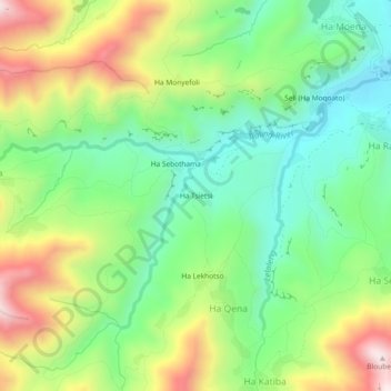
Name: Ha Tsietsi topographic map, elevation, terrain.
Location: Ha Tsietsi, Ha Qena, Mohale's Hoek District, Lesotho (-30.24860 27.63812 -30.20860 27.67812)
Average elevation: 1,803 m
Minimum elevation: 1,561 m
Maximum elevation: 2,198 m
Thank you for supporting this site ❤️
Make a donation
Make a donation