
Thank you for supporting this site ❤️
Make a donation
Make a donation
Birmingham topographic map
Click on the map to display elevation.
Thank you for supporting this site ❤️
Make a donation
Make a donation
About this map
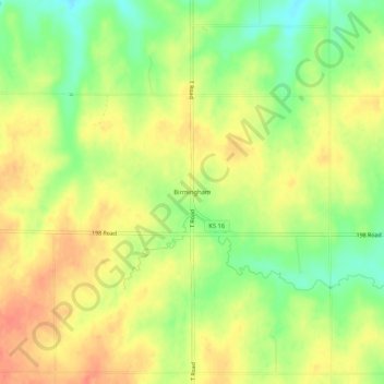
Name: Birmingham topographic map, elevation, terrain.
Location: Birmingham, Jackson County, Kansas, United States (39.38916 -95.70248 39.42916 -95.66248)
Average elevation: 342 m
Minimum elevation: 314 m
Maximum elevation: 364 m
Thank you for supporting this site ❤️
Make a donation
Make a donation
Other topographic maps
Click on a map to view its topography, its elevation and its terrain.