
Thank you for supporting this site ❤️
Make a donation
Make a donation
Tibetan Plateau topographic map
Click on the map to display elevation.
Thank you for supporting this site ❤️
Make a donation
Make a donation
About this map
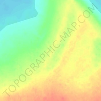
Name: Tibetan Plateau topographic map, elevation, terrain.
Location: Tibetan Plateau, 尼玛镇, Nyima County, Nagqu City, Tibet, China (31.82803 87.40638 31.82813 87.40648)
Average elevation: 4,498 m
Minimum elevation: 4,472 m
Maximum elevation: 4,520 m
Thank you for supporting this site ❤️
Make a donation
Make a donation