
Soputan topographic map
Interactive map
Click on the map to display elevation.
About this map
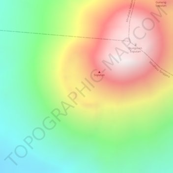
Name: Soputan topographic map, elevation, terrain.
Location: Soputan, Manado, Sulawesi du Nord, Indonésie (1.10795 124.72995 1.10805 124.73005)
Average elevation: 1,233 m
Minimum elevation: 737 m
Maximum elevation: 1,798 m