
Thank you for supporting this site ❤️
Make a donation
Make a donation
Seesen topographic map
Click on the map to display elevation.
Thank you for supporting this site ❤️
Make a donation
Make a donation
About this map
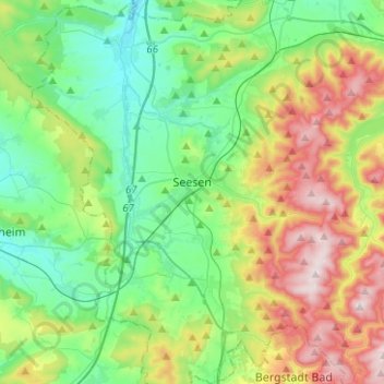
Name: Seesen topographic map, elevation, terrain.
Location: Seesen, Landkreis Goslar, Lower Saxony, 38723, Germany (51.80905 10.06569 51.96351 10.22238)
Average elevation: 281 m
Minimum elevation: 122 m
Maximum elevation: 615 m
Thank you for supporting this site ❤️
Make a donation
Make a donation