
叶枝镇 topographic map
Interactive map
Click on the map to display elevation.
About this map
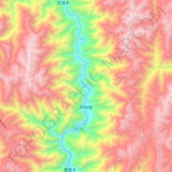
Name: 叶枝镇 topographic map, elevation, terrain.
Location: 叶枝镇, 维西傈僳族自治县, 迪庆藏族自治州, 云南省, 中国 (27.62540 98.83196 27.84659 99.14741)
Average elevation: 3,191 m
Minimum elevation: 1,717 m
Maximum elevation: 4,521 m
Other topographic maps
Click on a map to view its topography, its elevation and its terrain.