
Tarna topographic map
Interactive map
Click on the map to display elevation.
About this map
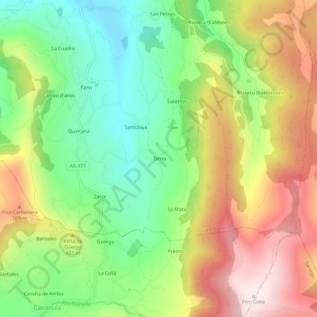
Name: Tarna topographic map, elevation, terrain.
Location: Tarna, Distrito Rural, Gijón, Asturias, España (43.43190 -5.62853 43.47190 -5.58853)
Average elevation: 373 m
Minimum elevation: 92 m
Maximum elevation: 730 m