
Greith topographic map
Interactive map
Click on the map to display elevation.
About this map
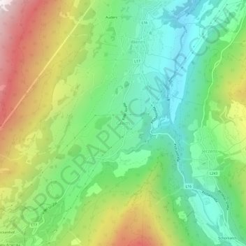
Name: Greith topographic map, elevation, terrain.
Location: Greith, Gemeinde Wenns, Bezirk Imst, Tirol, 6473, Österreich (47.13567 10.70620 47.17567 10.74620)
Average elevation: 1,256 m
Minimum elevation: 820 m
Maximum elevation: 2,008 m