
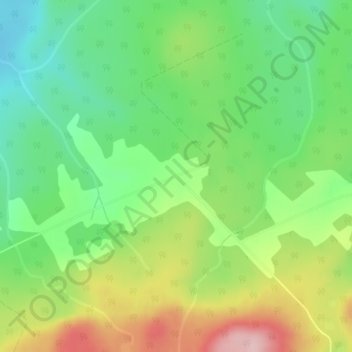
Saint-Thomas-de-Cherbourg topographic map
Interactive map
Click on the map to display elevation.
About this map
Name: Saint-Thomas-de-Cherbourg topographic map, elevation, terrain.
Average elevation: 448 m
Minimum elevation: 360 m
Maximum elevation: 585 m
Other topographic maps
Click on a map to view its topography, its elevation and its terrain.
Lac au Sable
Canada > Québec > La Matanie > Les Méchins
Lac au Sable, Les Méchins, La Matanie, Bas-Saint-Laurent, Québec, Canada
Average elevation: 395 m
Ruisseau-à-Sem
Canada > Québec > La Matanie > Les Méchins > Ruisseau-à-Sem
Ruisseau-à-Sem, Les Méchins, La Matanie, Bas-Saint-Laurent, Québec, Canada
Average elevation: 85 m
Lac Rouleau
Canada > Québec > La Matanie > Les Méchins
Lac Rouleau, Les Méchins, La Matanie, Bas-Saint-Laurent, Québec, Canada
Average elevation: 385 m