
집현동 topographic map
Interactive map
Click on the map to display elevation.
About this map
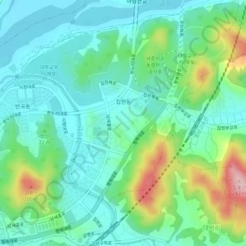
Name: 집현동 topographic map, elevation, terrain.
Location: 집현동, Sejong, Corée du Sud (36.47936 127.31072 36.51321 127.34896)
Average elevation: 66 m
Minimum elevation: 9 m
Maximum elevation: 224 m