
梁家塘 topographic map
Interactive map
Click on the map to display elevation.
About this map
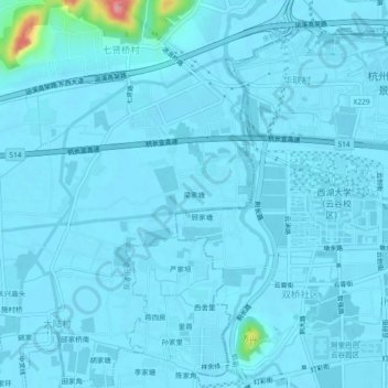
Name: 梁家塘 topographic map, elevation, terrain.
Location: 梁家塘, 良渚街道, 余杭区, 杭州市, 浙江省, 310030, 中国 (30.31687 119.99525 30.35687 120.03525)
Average elevation: 9 m
Minimum elevation: 3 m
Maximum elevation: 122 m
Other topographic maps
Click on a map to view its topography, its elevation and its terrain.