
Hasreith topographic map
Interactive map
Click on the map to display elevation.
About this map
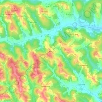
Name: Hasreith topographic map, elevation, terrain.
Location: Hasreith, Deutschlandsberg, Steiermark, 8522, Österreich (46.77240 15.28350 46.81240 15.32350)
Average elevation: 357 m
Minimum elevation: 311 m
Maximum elevation: 413 m