
Leborei topographic map
Interactive map
Click on the map to display elevation.
About this map
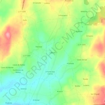
Name: Leborei topographic map, elevation, terrain.
Location: Leborei, Comarca da Ulloa, Lugo, Galicia, 27215, España (42.80143 -7.83489 42.84143 -7.79489)
Average elevation: 568 m
Minimum elevation: 517 m
Maximum elevation: 637 m