
蓝田镇 topographic map
Interactive map
Click on the map to display elevation.
About this map
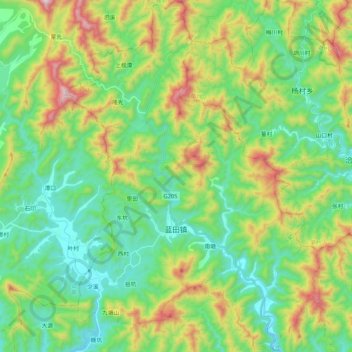
Name: 蓝田镇 topographic map, elevation, terrain.
Location: 蓝田镇, Xian de Xiuning, Huangshan, Anhui, Chine (29.84485 118.03000 30.02704 118.18196)
Average elevation: 420 m
Minimum elevation: 171 m
Maximum elevation: 977 m