
Dirah topographic map
Interactive map
Click on the map to display elevation.
About this map
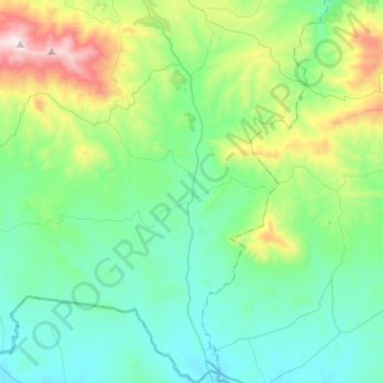
Name: Dirah topographic map, elevation, terrain.
Location: Dirah, Daïra Sour El Ghozlane, Bouira, 28300, RADP (35.89700 3.63025 36.10724 3.81649)
Average elevation: 928 m
Minimum elevation: 671 m
Maximum elevation: 1,806 m