
Oberdorla topographic map
Interactive map
Click on the map to display elevation.
About this map
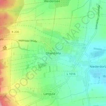
Name: Oberdorla topographic map, elevation, terrain.
Average elevation: 244 m
Minimum elevation: 198 m
Maximum elevation: 341 m
Other topographic maps
Click on a map to view its topography, its elevation and its terrain.
Langula
Deutschland > Thüringen > Unstrut-Hainich-Kreis > Vogtei
Langula, Vogtei, Unstrut-Hainich-Kreis, Thüringen, 99986, Deutschland
Average elevation: 252 m