
Thank you for supporting this site ❤️
Make a donation
Make a donation
Bunker Hill topographic map
Click on the map to display elevation.
Thank you for supporting this site ❤️
Make a donation
Make a donation
About this map
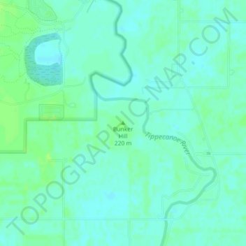
Name: Bunker Hill topographic map, elevation, terrain.
Location: Bunker Hill, Pulaski County, Indiana, United States (41.10221 -86.56923 41.10231 -86.56913)
Average elevation: 217 m
Minimum elevation: 212 m
Maximum elevation: 223 m
Thank you for supporting this site ❤️
Make a donation
Make a donation
Other topographic maps
Click on a map to view its topography, its elevation and its terrain.