
Thank you for supporting this site ❤️
Make a donation
Make a donation
Greenview topographic map
Click on the map to display elevation.
Thank you for supporting this site ❤️
Make a donation
Make a donation
About this map
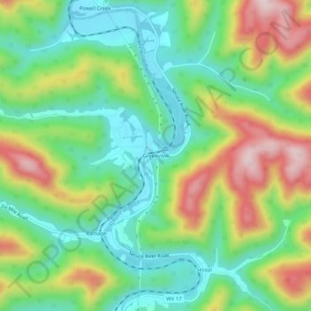
Name: Greenview topographic map, elevation, terrain.
Location: Greenview, Boone County, West Virginia, 25114, United States (37.97427 -81.83568 38.01427 -81.79568)
Average elevation: 343 m
Minimum elevation: 217 m
Maximum elevation: 556 m
Thank you for supporting this site ❤️
Make a donation
Make a donation
Other topographic maps
Click on a map to view its topography, its elevation and its terrain.