
Thank you for supporting this site ❤️
Make a donation
Make a donation
Old Jenny Lind topographic map
Click on the map to display elevation.
Thank you for supporting this site ❤️
Make a donation
Make a donation
About this map
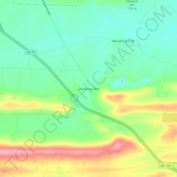
Name: Old Jenny Lind topographic map, elevation, terrain.
Location: Old Jenny Lind, Sebastian County, Arkansas, United States (35.22009 -94.34688 35.26009 -94.30688)
Average elevation: 168 m
Minimum elevation: 118 m
Maximum elevation: 254 m
Thank you for supporting this site ❤️
Make a donation
Make a donation
Other topographic maps
Click on a map to view its topography, its elevation and its terrain.