
Ampana topographic map
Interactive map
Click on the map to display elevation.
About this map
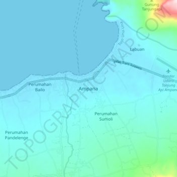
Name: Ampana topographic map, elevation, terrain.
Location: Ampana, Tojo Una-Una, Sulteng, 94683, Indonesië (-0.91328 121.54794 -0.83328 121.62794)
Average elevation: 39 m
Minimum elevation: -1 m
Maximum elevation: 460 m