
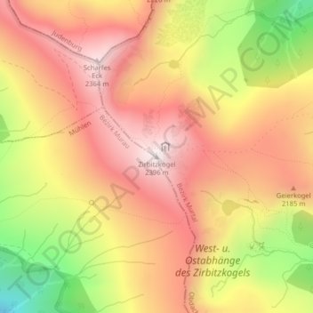
Zirbitzkogel topographic map
Interactive map
Click on the map to display elevation.
About this map
Name: Zirbitzkogel topographic map, elevation, terrain.
Location: Zirbitzkogel, Obdach, Bezirk Murtal, Styrie, 8742, Autriche (47.06357 14.56717 47.06367 14.56727)
Average elevation: 2,069 m
Minimum elevation: 1,592 m
Maximum elevation: 2,383 m
Le Zirbitzkogel est un sommet des Alpes, à 2 396 m d'altitude, point culminant des Alpes de Lavanttal, et en particulier du chaînon de Seetal, en Autriche (land de Styrie).