
Thank you for supporting this site ❤️
Make a donation
Make a donation
Boekelo topographic map
Click on the map to display elevation.
Thank you for supporting this site ❤️
Make a donation
Make a donation
About this map
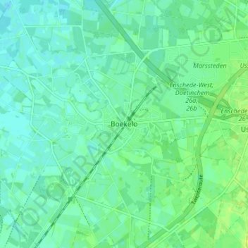
Name: Boekelo topographic map, elevation, terrain.
Location: Boekelo, Enschede, Overijssel, Nederland, 7548 AP, Nederland (52.18399 6.77944 52.22399 6.81944)
Average elevation: 27 m
Minimum elevation: 21 m
Maximum elevation: 36 m
Thank you for supporting this site ❤️
Make a donation
Make a donation
Other topographic maps
Click on a map to view its topography, its elevation and its terrain.