
Río Bogotá topographic map
Interactive map
Click on the map to display elevation.
About this map
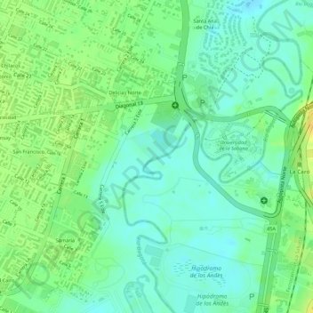
Name: Río Bogotá topographic map, elevation, terrain.
Location: Río Bogotá, Chía, 25001, Colombia (4.85709 -74.04275 4.86290 -74.03693)
Average elevation: 2,552 m
Minimum elevation: 2,540 m
Maximum elevation: 2,567 m