
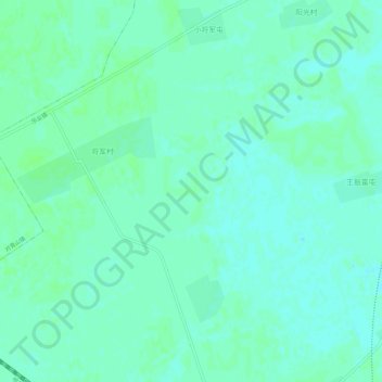
松北区 topographic map
Interactive map
Click on the map to display elevation.
About this map
Name: 松北区 topographic map, elevation, terrain.
Location: 松北区, 黑龙江省, 中国 (45.90371 126.42317 45.94371 126.46317)
Average elevation: 121 m
Minimum elevation: 117 m
Maximum elevation: 124 m
Other topographic maps
Click on a map to view its topography, its elevation and its terrain.