
Berriedale topographic map
Interactive map
Click on the map to display elevation.
About this map
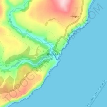
Name: Berriedale topographic map, elevation, terrain.
Location: Berriedale, Caithness, Escocia, KW7 6HF, Reino Unido (58.16428 -3.51965 58.20428 -3.47965)
Average elevation: 67 m
Minimum elevation: -1 m
Maximum elevation: 257 m