
农安县 topographic map
Interactive map
Click on the map to display elevation.
About this map
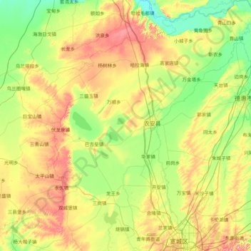
Name: 农安县 topographic map, elevation, terrain.
Location: 农安县, Changchun, Jilin, 130000, Chine (43.89863 124.53918 44.93719 125.75801)
Average elevation: 197 m
Minimum elevation: 139 m
Maximum elevation: 335 m
Other topographic maps
Click on a map to view its topography, its elevation and its terrain.