
Mouland topographic map
Interactive map
Click on the map to display elevation.
About this map
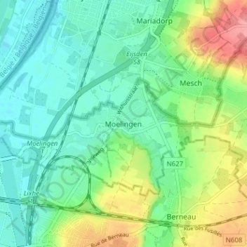
Name: Mouland topographic map, elevation, terrain.
Location: Mouland, Fourons, Limbourg, Flandre, 3790, Belgique (50.73740 5.69636 50.77740 5.73636)
Average elevation: 74 m
Minimum elevation: 47 m
Maximum elevation: 135 m