
Xhendremael topographic map
Interactive map
Click on the map to display elevation.
About this map
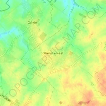
Name: Xhendremael topographic map, elevation, terrain.
Location: Xhendremael, Ans, Liège, Wallonie, 4430, Belgique (50.68437 5.46058 50.72437 5.50058)
Average elevation: 146 m
Minimum elevation: 125 m
Maximum elevation: 166 m