
Santa Rosa del Conlara topographic map
Interactive map
Click on the map to display elevation.
About this map
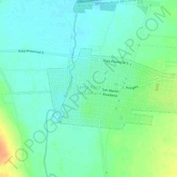
Name: Santa Rosa del Conlara topographic map, elevation, terrain.
Average elevation: 592 m
Minimum elevation: 580 m
Maximum elevation: 619 m
Other topographic maps
Click on a map to view its topography, its elevation and its terrain.
Santa Rosa del Conlara
Argentina > San Luis > Santa Rosa del Conlara
Santa Rosa del Conlara, Municipio de Santa Rosa del Conlara, Junín, San Luis, Argentina
Average elevation: 593 m