
Impe topographic map
Interactive map
Click on the map to display elevation.
About this map
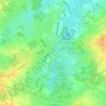
Name: Impe topographic map, elevation, terrain.
Location: Impe, Lede, Alost, Flandre orientale, 9340, Belgique (50.94920 3.92934 50.96929 3.96190)
Average elevation: 22 m
Minimum elevation: 9 m
Maximum elevation: 38 m