
Thank you for supporting this site ❤️
Make a donation
Make a donation
Cerceda topographic map
Click on the map to display elevation.
Thank you for supporting this site ❤️
Make a donation
Make a donation
About this map
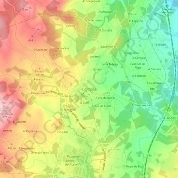
Name: Cerceda topographic map, elevation, terrain.
Location: Cerceda, Ordes, La Coruña, Galicia, 15185, España (43.16883 -8.49089 43.20883 -8.45089)
Average elevation: 352 m
Minimum elevation: 231 m
Maximum elevation: 480 m
Thank you for supporting this site ❤️
Make a donation
Make a donation