
Thank you for supporting this site ❤️
Make a donation
Make a donation
Smokey topographic map
Click on the map to display elevation.
Thank you for supporting this site ❤️
Make a donation
Make a donation
About this map
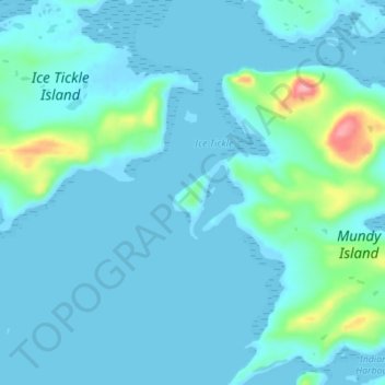
Name: Smokey topographic map, elevation, terrain.
Location: Smokey, Labrador, Newfoundland and Labrador, Canada (54.44667 -57.27000 54.48667 -57.23000)
Average elevation: 14 m
Minimum elevation: -4 m
Maximum elevation: 121 m
Thank you for supporting this site ❤️
Make a donation
Make a donation