
Hampden topographic map
Interactive map
Click on the map to display elevation.
About this map
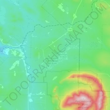
Name: Hampden topographic map, elevation, terrain.
Location: Hampden, Le Haut-Saint-François, Estrie, Quebec, Canadá (45.45923 -71.37135 45.57016 -71.15872)
Average elevation: 490 m
Minimum elevation: 318 m
Maximum elevation: 1,102 m