
Suginami topographic map
Interactive map
Click on the map to display elevation.
About this map
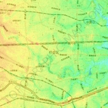
Name: Suginami topographic map, elevation, terrain.
Location: Suginami, Tokyo, Kanto, Japan (35.66581 139.58506 35.73045 139.66758)
Average elevation: 46 m
Minimum elevation: 26 m
Maximum elevation: 60 m
Other topographic maps
Click on a map to view its topography, its elevation and its terrain.