
Rudraprayag topographic map
Interactive map
Click on the map to display elevation.
About this map
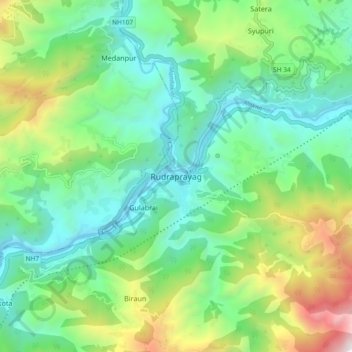
Name: Rudraprayag topographic map, elevation, terrain.
Location: Rudraprayag, Uttarakhand, 246171, India (30.24656 78.94072 30.32656 79.02072)
Average elevation: 1,140 m
Minimum elevation: 594 m
Maximum elevation: 2,495 m