
Thank you for supporting this site ❤️
Make a donation
Make a donation
Kenana topographic map
Click on the map to display elevation.
Thank you for supporting this site ❤️
Make a donation
Make a donation
About this map
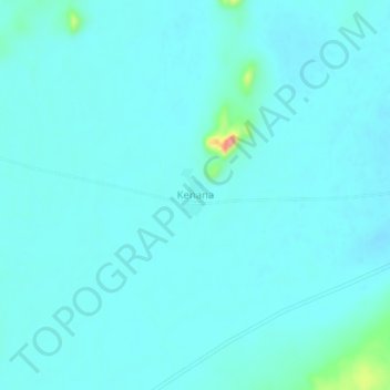
Name: Kenana topographic map, elevation, terrain.
Location: Kenana, Umm Kaddada, North Darfur State, Sudan (13.45462 27.10357 13.49462 27.14357)
Average elevation: 555 m
Minimum elevation: 543 m
Maximum elevation: 652 m
Thank you for supporting this site ❤️
Make a donation
Make a donation