
Paderno topographic map
Click on the map to display elevation.
About this map
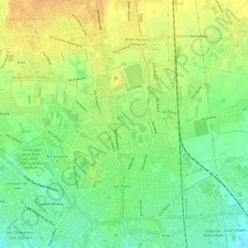
Name: Paderno topographic map, elevation, terrain.
Location: Paderno, Udine, Friuli-Venezia Giulia, 33100, Italia (46.06661 13.21524 46.10661 13.25524)
Average elevation: 123 m
Minimum elevation: 106 m
Maximum elevation: 137 m