
Gemeinde Ainet topographic map
Interactive map
Click on the map to display elevation.
About this map
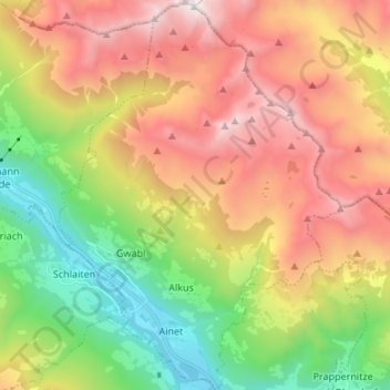
Name: Gemeinde Ainet topographic map, elevation, terrain.
Location: Gemeinde Ainet, Bezirk Lienz, Tirol, 9951, Österreich (46.85217 12.65130 46.94409 12.74866)
Average elevation: 1,843 m
Minimum elevation: 694 m
Maximum elevation: 3,201 m