
Thank you for supporting this site ❤️
Make a donation
Make a donation
Grand Blanc topographic map
Click on the map to display elevation.
Thank you for supporting this site ❤️
Make a donation
Make a donation
About this map
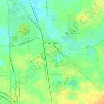
Name: Grand Blanc topographic map, elevation, terrain.
Location: Grand Blanc, Genesee County, Michigan, 48439, United States (42.91002 -83.64251 42.93852 -83.59038)
Average elevation: 258 m
Minimum elevation: 244 m
Maximum elevation: 274 m
Thank you for supporting this site ❤️
Make a donation
Make a donation
Other topographic maps
Click on a map to view its topography, its elevation and its terrain.
Genessee County Recreational Area
United States > Michigan > Genesee County > Genesee Charter Township
Average elevation: 231 m