
Texarkana topographic map
Interactive map
Click on the map to display elevation.
About this map
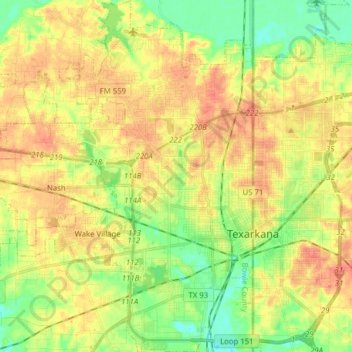
Name: Texarkana topographic map, elevation, terrain.
Location: Texarkana, Bowie County, Texas, Estados Unidos da América (33.38139 -94.14486 33.51196 -94.04304)
Average elevation: 99 m
Minimum elevation: 74 m
Maximum elevation: 122 m