
Thank you for supporting this site ❤️
Make a donation
Make a donation
Khalde topographic map
Click on the map to display elevation.
Thank you for supporting this site ❤️
Make a donation
Make a donation
About this map
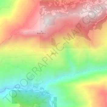
Name: Khalde topographic map, elevation, terrain.
Location: Khalde, Kummayak, Panchthar, Koshi Province, 57408, Nepal (27.02740 87.58879 27.06740 87.62879)
Average elevation: 1,145 m
Minimum elevation: 522 m
Maximum elevation: 1,732 m
Thank you for supporting this site ❤️
Make a donation
Make a donation
Other topographic maps
Click on a map to view its topography, its elevation and its terrain.