
Annex Peak topographic map
Interactive map
Click on the map to display elevation.
About this map
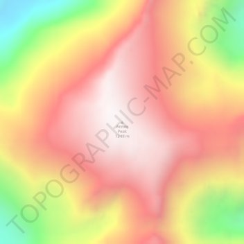
Name: Annex Peak topographic map, elevation, terrain.
Location: Annex Peak, Juneau, Alaska, USA (58.36133 -134.13699 58.36143 -134.13689)
Average elevation: 844 m
Minimum elevation: 126 m
Maximum elevation: 1,274 m
Other topographic maps
Click on a map to view its topography, its elevation and its terrain.