
Thank you for supporting this site ❤️
Make a donation
Make a donation
Utao topographic map
Click on the map to display elevation.
Thank you for supporting this site ❤️
Make a donation
Make a donation
About this map
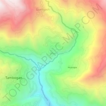
Name: Utao topographic map, elevation, terrain.
Location: Utao, Churubamba, Huánuco, Perú (-9.78521 -76.23398 -9.74521 -76.19398)
Average elevation: 2,975 m
Minimum elevation: 2,395 m
Maximum elevation: 3,670 m
Thank you for supporting this site ❤️
Make a donation
Make a donation