
Thank you for supporting this site ❤️
Make a donation
Make a donation
Holdenstedt topographic map
Click on the map to display elevation.
Thank you for supporting this site ❤️
Make a donation
Make a donation
About this map
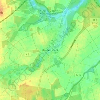
Name: Holdenstedt topographic map, elevation, terrain.
Location: Holdenstedt, Uelzen, Lower Saxony, Germany (52.90103 10.50363 52.94103 10.54363)
Average elevation: 50 m
Minimum elevation: 35 m
Maximum elevation: 67 m
Thank you for supporting this site ❤️
Make a donation
Make a donation