
Forest Park topographic map
Interactive map
Click on the map to display elevation.
About this map
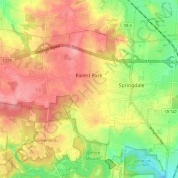
Name: Forest Park topographic map, elevation, terrain.
Location: Forest Park, Comté de Hamilton, Ohio, États-Unis d'Amérique (39.26648 -84.56454 39.30478 -84.48573)
Average elevation: 234 m
Minimum elevation: 177 m
Maximum elevation: 281 m