
Thank you for supporting this site ❤️
Make a donation
Make a donation
Dayap Itaas topographic map
Click on the map to display elevation.
Thank you for supporting this site ❤️
Make a donation
Make a donation
About this map
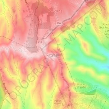
Name: Dayap Itaas topographic map, elevation, terrain.
Location: Dayap Itaas, Laurel, Batangas, Calabarzon, Philippines (14.03576 120.83095 14.07576 120.87095)
Average elevation: 503 m
Minimum elevation: 269 m
Maximum elevation: 637 m
Thank you for supporting this site ❤️
Make a donation
Make a donation